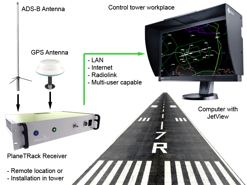
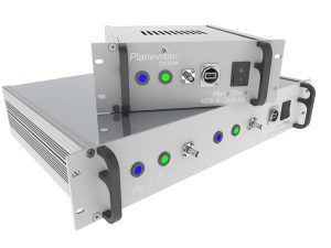
More and more aircraft transmit the position, altitude  speed, climb- and descent rate with a mode-s transponder. Thereby the identification of aerial targets became significantly cost effective. The professional 19 inch ADS-B PlaneTRack receiver system together with the JetView visualization was developed in cooperation with PlaneVision Systems.
The objective was the creation of an economic aerial target display system for small aerodromes and airports as well as a user interface that is easy to use and benefits from all advantages of ADS-B. The system was practical tested and optimized on our airport in Bautzen. The manufacturing of the PlaneTRack devices and assembly of its components takes place in our workshop in Bautzen/Germany.

Applications:
+ information system for flight information services (FIS, AFIS)
+ information system for controlled aerodromes / airports without own radar system
+ airport supervisors and ground handling services
+ civil- and military airspace surveillance
+ flight operations and airlines
+ flight data recording and network sharing for remote locations
+ surveillance of glider competitions (with FLARM-option)
– not for air traffic control (separation) certified

PlaneTRack ADS-B receiver for airfields and airports:
+ professional ADS-B processor with overcurrent protected ethernet interface
+ multilateration possible
+ optional FLARM-receiver
+ offline operation possible
+ narrow band filter to protect incoming ADS-B signals against jamming by UHF/VHF and GSM frequencys
+ Antenna path groundet
+ 10” or 19” rackmount devices, 2HE
+ housings fullfill EC and german VDA safety regulations
+ download datasheets and specifications.
Additional options:
+ reduntant receiver
+ reduntant power supplay
+ integrated PC for direct display connection
+ self sustaining power supply for remote locations
+ antennas, masts, coax cable and connectors
+ high quality screen in aspect ratio 4:3
+ installation on vehicles + installation on site
+ custom made housings for special applications


JetView display software:
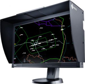
+ professional display of aerial targets and flight information
+ suitable for all display aspect ratios + display of airspaces
+ display of flight information (flight strips)
+ display of navigational aids and text elements
+ direction finder (QDM) and display of target distance in miles
+ list of active mode-s transponders and their altitude within the receiving range
+ display of the nearest METAR
Additional options:
+ display of external data (precipitation radar, lightning detector)
+ display of custom charts (SIDs, STARs etc.)
+ approach path monitoring (for the practice of PAR under VFR conditions)
+ download screenshot: image 1 and image 2
[slideshow_deploy id=’501′]
